[Resource] Canadian Fire Maps
Click HERE to access The Canadian Wildland Fire Information System
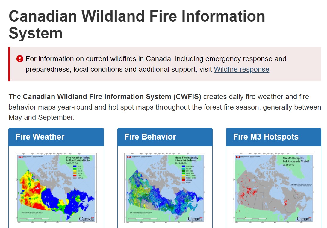
The Canadian Wildland Fire Information System monitors fire danger conditions and fire occurrence across Canada. Daily weather conditions are collected from across Canada and used to produce fire weather and fire behavior maps. In addition, satellites are used to detect fires, and reported fire locations are collected from fire management agencies.
This site is divided into the following main sections:
- The Background Information section contains links that provide details about the CWFIS and outline the processes used to derive the data.
- The Maps and Reports section presents the current and past days fire danger and fire occurrence in Canada.
- The National Wildland Fire Situation Report provides a summary of fire activity across Canada.
- The Historical Analysis section provides a fire danger climatology and fire history for Canada.
- The CWFIS Datamart provides access to various data products and services.
-
By
Natural Resources Canada
-
Published
Jul 10, 2023
-
Subject Area
Newsletter
Sign up for the Healthy Aging CORE Canada e-news to keep up-to-date with activity from the platform and the Community-Based Seniors Services (CBSS) sector across the country.